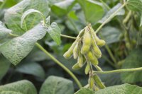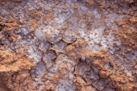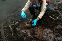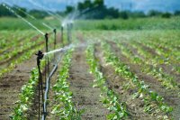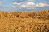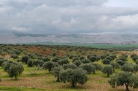
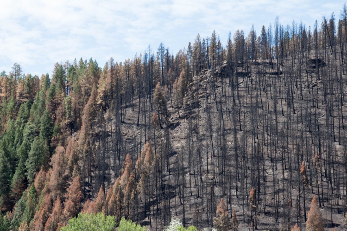
Ask most people what Syria looks like and they will describe steppe, dry hills and wheat fields. Forests come last, if at all, which is fair, since they cover under 3% of the land. But Syria also has pine and oak woodland on the coast, a large belt of rangeland running through the interior and the Badia, and a mix of orchards, crops and wild plants on the plains. All of it counts as vegetation, and much of it has been disappearing quietly for years.
The loss is hard to see and harder to measure. Official figures show almost no change in Syria's forests since 2015, while satellites, field studies and fire records tell a different story.
What the official numbers say
FAO's 2020 Global Forest Resources Assessment puts Syria's forests at 522,080 hectares, or 5,221 km², about 2.84% of the land area. The Syrian Ministry of Agriculture gives a similar figure of about 2.7%.
Look at how the series behaves, though. It rises from 3,721 km² in 1990 to 5,221 km² in 2015, largely thanks to decades of state planting, and then stays exactly the same until 2020. There is no decline and no fluctuation, just the same number for five years that included some of the worst fires and fighting the country has seen. My reading is that the flat line reflects missing field data more than a stable forest. The same official reporting, in FAO's 2025 assessment, lists 43% of Syria's forest area as under restoration, the highest share reported by any country.
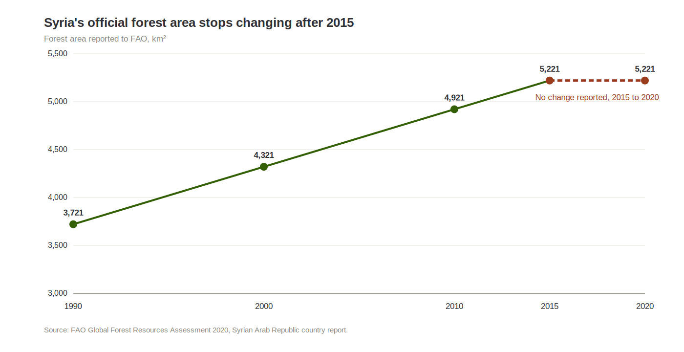
Syria's official forest area rises steadily to 2015 and then shows no change to 2020. Source: FAO Global Forest Resources Assessment 2020.
Forest is also the smaller part of the story. Rangelands, steppe, wild plants, orchards and field crops cover far more ground. The Badia alone takes up more than half the country and feeds a large share of Syria's sheep and goats. Plant cover thins out from west to east, following rainfall: dense on the coast and in the western mountains, patchy in the interior, and sparse shrubs and seasonal herbs in the steppe.
What satellites record
Global Forest Watch, which uses Landsat imagery analysed by the University of Maryland, recorded about 30,460 hectares of tree cover loss in Syria between 2001 and 2024. In 2000 the country had roughly 106,000 hectares of tree cover with a canopy above 30%, so the loss is close to 29%.
That figure measures loss, which is not the same as deforestation. A burned or felled hectare may grow back, the dataset does not subtract regrowth, and it cannot tell you the cause. Other studies arrive at other numbers because they define forest differently. Syria Direct reported 20,681 hectares lost between 2001 and 2019. A 2023 study led by CREAF researchers, combining Landsat and PALSAR imagery with machine learning, estimated that Syria lost 19.3% of its forest cover between 2010 and 2019, around 63,700 hectares, with the sharpest drop between 2010 and 2015.
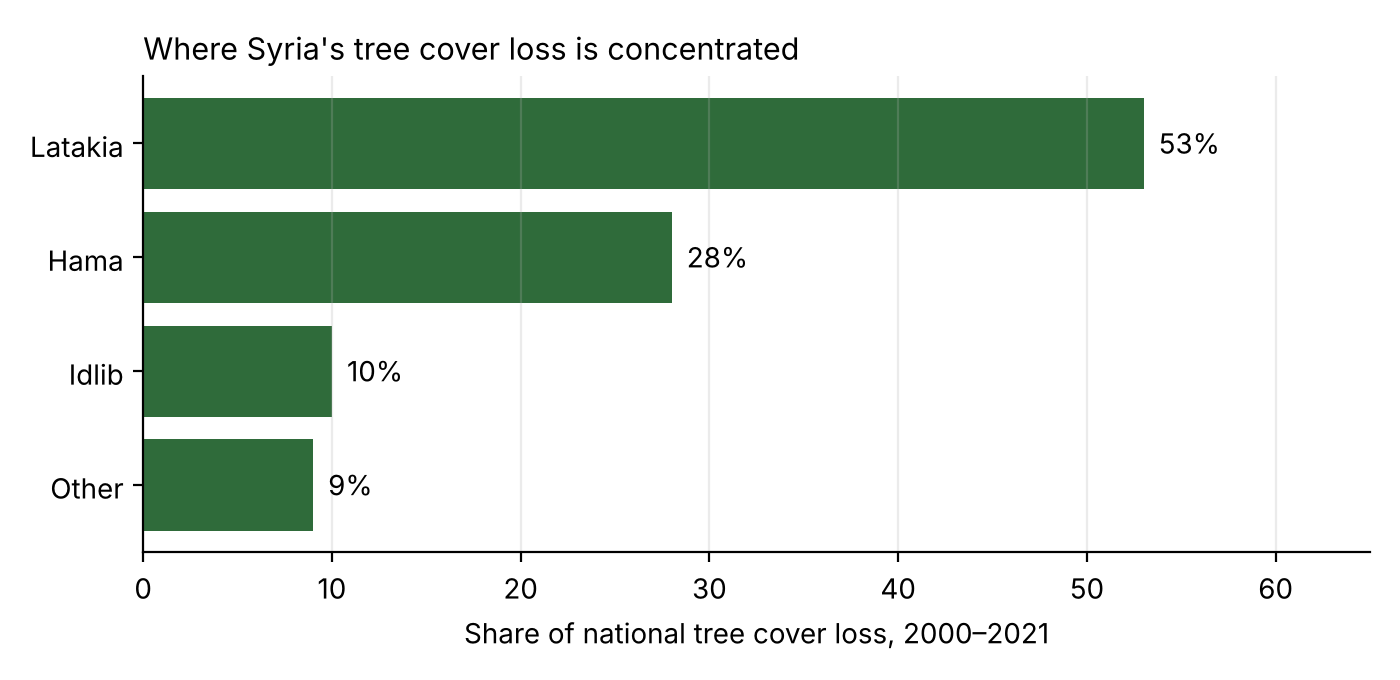
Three governorates account for more than 90% of the tree cover loss recorded between 2000 and 2021, 26,576 hectares in total. Source: World Bank Syria Economic Monitor, based on Global Forest Watch data.
Satellites probably understate the loss. A study of two forest sites in Idlib found that tree cover in the natural oak forest of Alboz fell by about 81% between 2010 and 2017. Open oak woodland sits below the 30% canopy threshold used by global datasets, so much of that loss never appears in the national totals.
Why the cover is going
Drought gets blamed first, and it deserves part of the blame. FAO described 2025 as one of the worst droughts Syria had seen in sixty years. But dry years alone do not strip a landscape. The sources point to several other causes.
Fire: the CREAF study attributed 23.4% of the forest loss it detected to fires, mostly in the northwest. In July 2025, fires in Latakia damaged more than 14,000 hectares, of which 11,675 hectares were forest and woodland, according to the Ministry of Agriculture. Analysts pointed to neglected firebreaks and water points, mines that kept crews out of some areas, and a collapse in nursery capacity: seedling production of around 30 million a year before 2011, against a planned 1.4 million for the 2025-26 season.
Firewood and logging: when heating fuel and income disappear, trees get cut. Researchers in Idlib named firewood demand as the main cause of damage at the sites they studied, and CREAF found that most clearing happened close to roads and displacement camps.
Overgrazing: a UN and Syrian Ministry of Local Administration and Environment study covering 2000 to 2015 found shrubs and sparse vegetation in the Badia down by about 15%, and degraded arable land up by 75% compared with 2000.
Land use and water: farmland and woodland have been built over, and groundwater pumped down.
Fighting: more than half of the forest loss CREAF recorded was in areas hit by high explosives.
Rain brings plants back quickly. Soil takes much longer. Once it has eroded or compacted, a good wet year does not repair it, which is why I think a drought year and a degraded landscape should not be treated as the same problem.
What it means on the farm
Plant cover holds soil in place, lets rain soak in instead of running off, keeps temperatures down, and gives pollinators and the natural enemies of crop pests somewhere to live. Where it thins out, neighbouring fields see more erosion and more flash floods, fertility drops and costs rise.
Herders feel it directly. Degraded rangeland means buying more feed and grazing for fewer months, which shows up in village incomes and then in meat and dairy prices. For food security, losing small rangeland plants may matter more than losing a handful of large trees.
Where recovery could start
Planting millions of trees is the obvious response and probably not the best one. Species have to suit the soil, the climate and the water available, and protection has to come first: controlling grazing, preventing fires and holding the soil. In many burned areas it is cheaper to fence the site, clear dead standing trees and let it regenerate than to replant. Where planting is needed, a mix of carob, terebinth and cedar alongside pine, chosen site by site, carries less risk than another monoculture.
Experts writing after the 2025 fires have suggested firebreaks 25 to 50 metres wide around forests and villages, fixed water tanks, drones and thermal cameras during summer, enforcement of the forestry law, and paid volunteer fire crews drawn from local communities. Rangelands need the same attention as forests, through managed grazing and temporary reserves. According to economist Karam Shaar, the Ministry of Agriculture plans to replant about 5,000 hectares in Latakia, Tartous and Hama in 2025-26, while its forestry department described a 1,000-hectare reforestation plan for the season. Either is worth following, if it follows the principles above.
Only about 0.7% of Syria's land was under terrestrial protection in 2024, according to World Bank data. There is still no modern national system for tracking vegetation, meaning satellite imagery tied to field surveys and to soil, water and climate data, with annual fire-risk maps. A UN-backed study put the cost of halting land degradation by 2030 at about US$360 million. That is a large sum, but restoring land after it has failed costs more.
Before anyone can protect Syria's vegetation, someone has to count it properly.
Sources
Arab Reform Initiative. Syria's widespread forest fires, a legacy of mismanagement and failed policies.
CREAF. The war in Syria has wiped out 19% of the country's forests.
Daiyoub, A., Gelabert, P., Saura-Mas, S., and Vega-Garcia, C. (2023). War and deforestation, using remote sensing and machine learning to identify the war-induced deforestation in Syria 2010-2019. Land, 12(8), 1509.
Enab Baladi (2025). Agriculture Ministry assesses wildfire damage in Latakia, Syria.
FAO (2020). Global Forest Resources Assessment 2020, Syrian Arab Republic country report. Rome.
FAO (2025). Global Forest Resources Assessment 2025, restoration progress. Rome.
Global Forest Watch. Syria country dashboard.
iForest (2023). Alhamam and Alboz forest sites, Idlib. iForest, 16, 144-154.
Shaar, K. Syria's forest crisis. Syria in Figures.
Syria Direct (2020). Report on forest loss, 29 September 2020.
World Bank. Syria Economic Monitor, tree cover loss analysis.